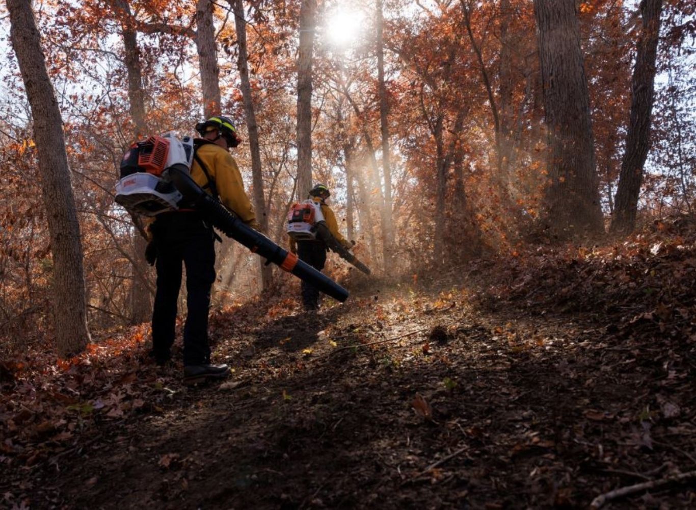
Wildland Fire
Empowering fire departments to provide better service to Kansans through training, equipment, and financial assistance.
Wildland Fire Management
Since 1963 the Kansas Forest Service, Fire Management Program has provided vehicles and equipment to fire departments to enhance their fire suppression capacity. Current programs are the Excess Personal Property Program, Firewise USA, Wildfire Risk Assessment Portal, and Wildland Fire.

Learn how to prepare your home, your property, and your neighborhoods for wildfire.
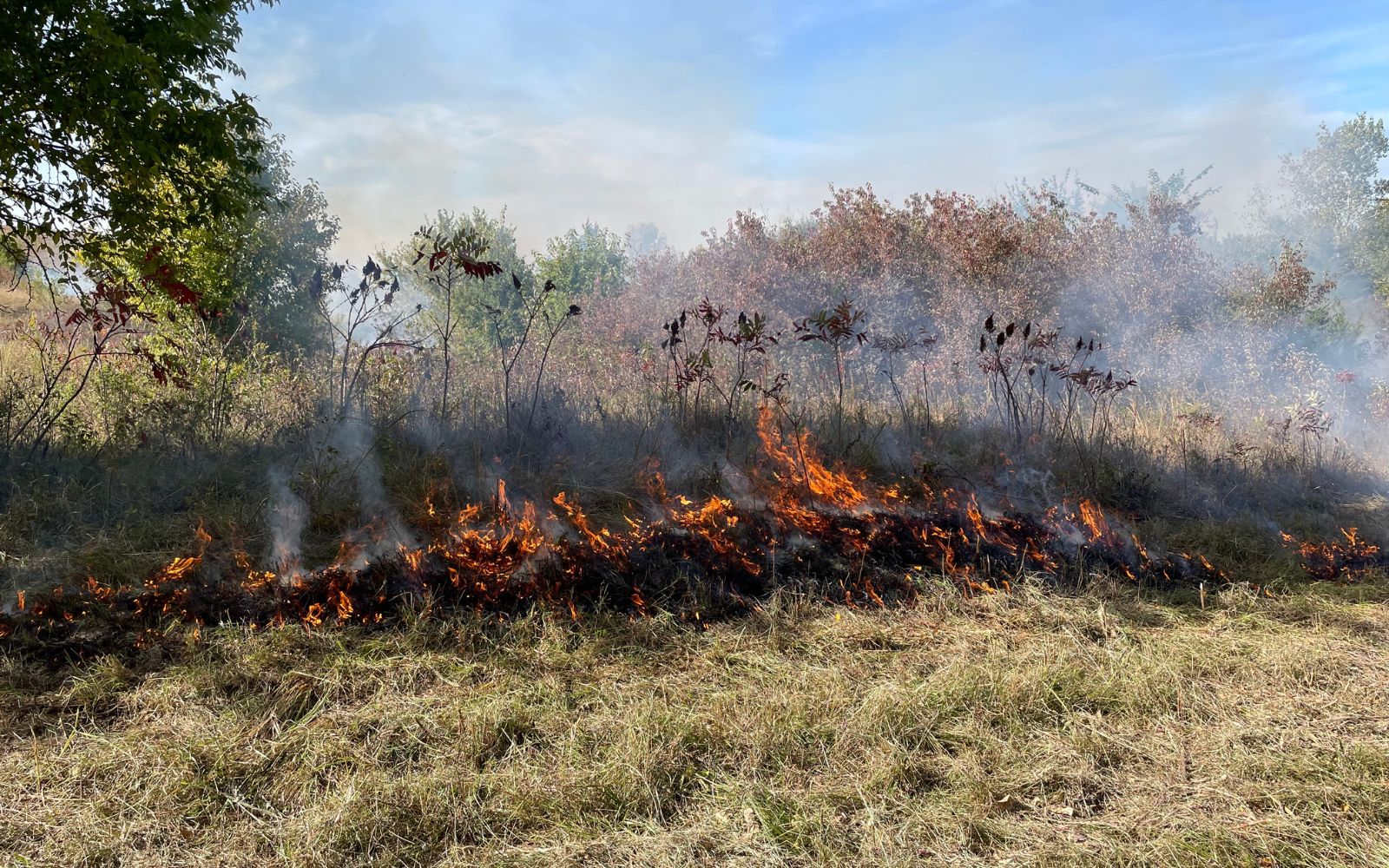
Prescribed burning reduces fuel loading, controls unwanted trees and brush, increases forage value, and rejuvenates our grasslands.
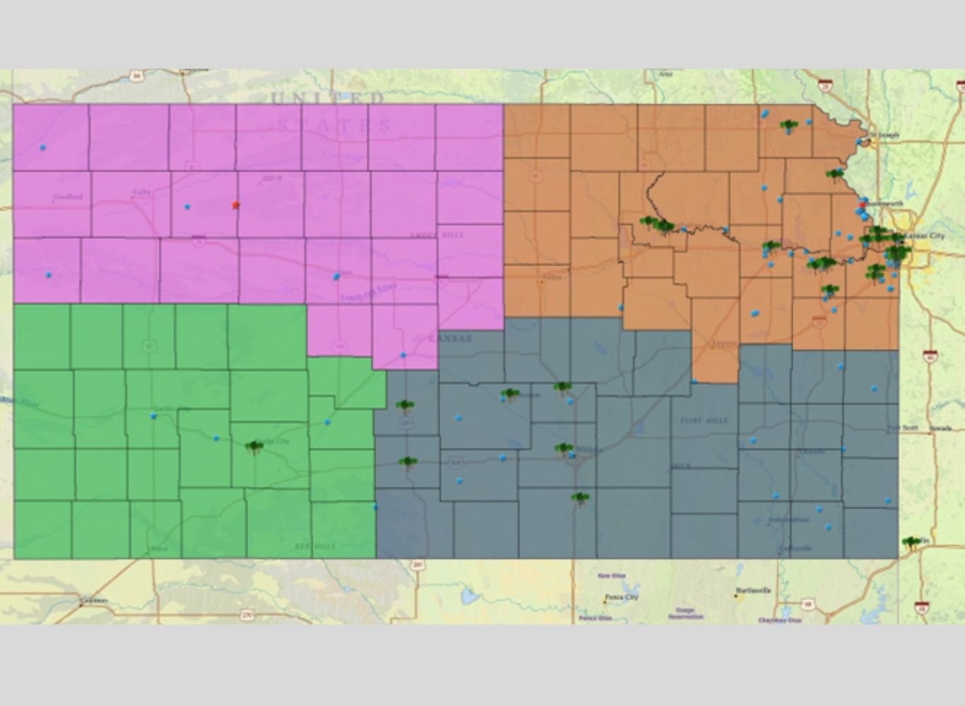
Use the Kansas Wildfire Risk Assessment Portal to learn about reducing the risks of wildfire around your home and property.